
Surveying Empires: Archaeologies of Colonial Cartography in West Bengal, India
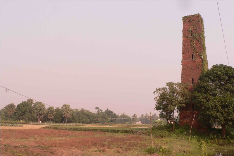
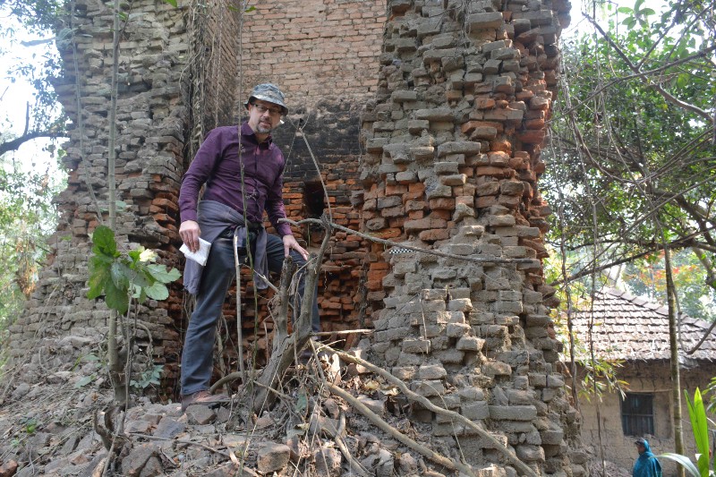
"Surveying Empires" is a collaborative international research project exploring the landscape legacies of the Great Trigonometrical Survey of India.
The purpose of the "Surveying Empires" project is to better understand the built heritage associated with the Great Trigonometrical Survey (GTS), and to raise greater awareness globally of India’s surveying heritage and history and also its international significance as ‘heritage in danger’.
Read more Read less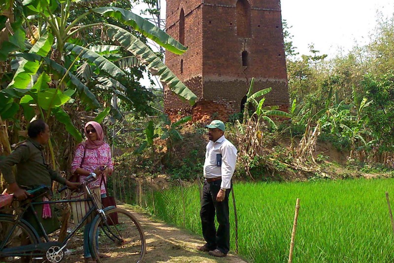
The project findings were presented in a public exhibition at the National Library, Kolkata, Ministry of Culture, Government of India. Titled “Legacies of the Great Trigonometrical Survey in West Bengal – An exploration of GTS Heritage, landscapes and Memories at the bicentenary of the institution of the GTS in India” (December 2017), the exhibition was inaugurated by the Chief Information Officer on behalf of Dr. A.K. Chakraborty, Director-General of the National Library.
The exhibition was timed to coincide with the bicentenary of the formal creation of the Great Trigonometrical Survey (GTS) of India, and attracted national press attention in India (‘The Hindu’-- http://www.thehindu.com/news/national/other-states/kolkatas-great-trigonometrical-survey-link-of-trigonometry-and-towers/article21616151.ece).
Visitors for the inauguration included scientists, school children and college students, and members of the public. The British Deputy High Commissioner in Kolkata also made a visit to the Exhibition. Bilingual booklets on the “Legacies of the Great Trigonometrical Survey in West Bengal”, in English and Bengali, were produced for the occasion and widely distributed.
The project’s findings have also been presented by Lilley at public lectures in the UK including Cambridge Seminars in the History of Cartography (November 2017, Emmanuel College, Cambridge) and RGS Northern Ireland Branch (April 2018, Queen’s University Belfast).
"Surveying Empires" was funded through a British Academy grant through its International Mobilities and Partnerships programme, and also by NBE Culture and Society research cluster funds.
Lilley, K D (2018), 'Following in Everest's footsteps: exploring the legacies of the Great Trigonometrical Survey', Viewpoint 115 (March 2018), pp.4-6. (ISSN: 1751-8261).
Lilley, K D (2020) ‘Surveying empires: Archaeologies of colonial cartography and the Great Trigonometrical Survey of India’, in Kent A, Vervust S, Demhardt I, Millea N (eds) Mapping Empires: Colonial Cartographies of Land and Sea (Springer, Cham), 101-120.
The "Surveying Empires" project was a research collaboration between geographers and archaeologists of Queen’s University Belfast (QUB) and the University of Calcutta (UC).
The project was directed by Professor Keith Lilley, an historical geographer at QUB, and Professor Bishnupriya Basak, an historical archaeologist at UC.
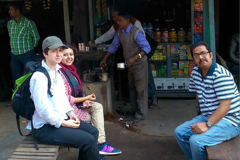
The fieldwork and project also involved Dr Satish Kumar, a development geographer at QUB, Dr Siobhán McDermott, a field archaeologist based at QUB in the Centre for Archaeological Fieldwork (CAF), Dr Sharmistha Chatterjee, a landscape archaeologist at UC, and Professor Rajat Sanyal, a buildings archaeologist at UC.
"Surveying Empires" contributed to the following SDGs:
SDG 11: "Make cities and human settlements inclusive, safe, resilient and sustainable". Target 11.4 calls for strengthening efforts to protect and safeguard the world’s cultural and natural heritage.
SDG 4: "Quality education"
SDG 16: "Peace, justice, and strong institutions"
Keywords associated with the Research
Heritage, mapping, landscape, (post-)colonialism, GIS, archaeology, surveying, architecture
-
Contact Details / Social Media
Prof Keith Lilley (k.lilley@qub.ac.uk)