Story Maps
Story maps are a way of combining interactive mapping with local knowledge and historical research to create an accessible and engaging learning resource which brings local stories to a wider audience.
Discover the forgotten stories of a group of World War One veterans re-housed on Cleenish Island in County Fermanagh.
Based on their original research, the Bellanaleck Local History Group has pieced together the fascinating story of eleven veterans who were provided with farm holdings on Cleenish, a beautiful but relatively isolated island in Upper Lough Erne, Co. Fermanagh. The Centre for Archaeological Fieldwork were then able to help the group present their research in an interactive story map which can be viewed here.
Go to Cleenish Story Map
Explore the archaeology and history of Cranfield Old Church and Graveyard, County Antrim
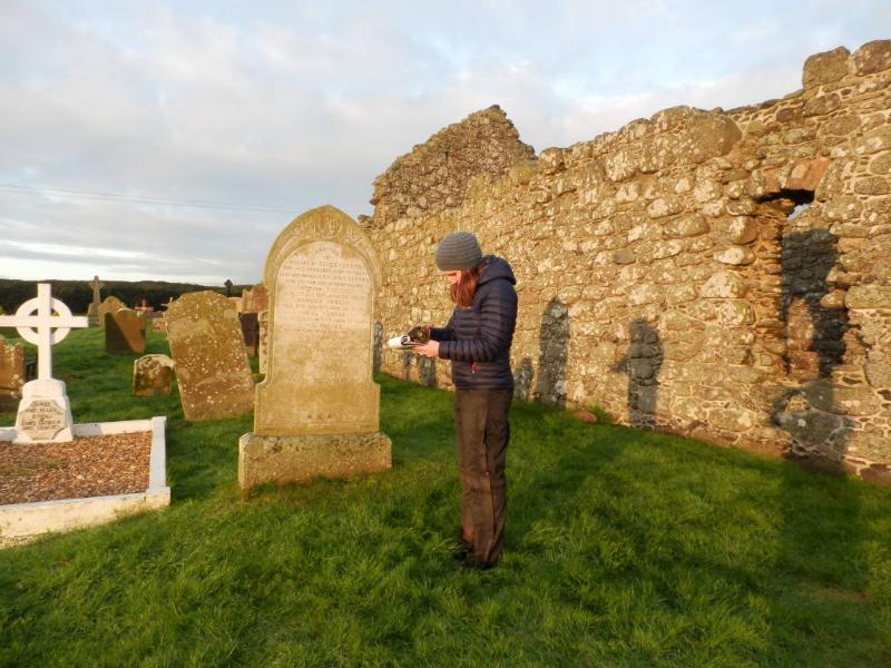
The Creggan Local Heritage Group had previously carried out a survey of the inscriptions within Cranfield Graveyard. In winter 2016 a detailed GPS survey was carried out of the graveyard. This included plotting the position of all the funerary makers, as well as masonry supports and the landscape topography. Each funerary marker was photographed and the inscription transcribed. The condition of the monuments were also recorded. All of this information was gathered together to make the StoryMap which can be viewed here. Created by the Centre for Archaeological Fieldwork, Queen's University Belfast for the Lough Neagh Landscape Partnership and the Creggan Local Heritage Group.
Go to Cranfield Story Map
Adventures in Medieval County Down - Explore the world of warlords and gallowglass
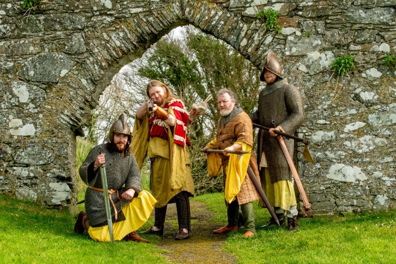
This project was funded by the Department for Communities, Tourism NI, and the National Lottery Heritage Fund as part of the European Year of Cultural Heritage 2018 and was undertaken in partnership between the Centre for Community Archaeology at QUB and the Strangford Lough and Lecale Partnership (SLLP). The project sought to develop greater public understanding of the Medieval period in Northern Ireland, utilising the region's existing associations with HBO's Game of Thrones as a means of better publicising our Medieval heritage for local people and tourists. Managed by Dr Colm Donnelly, Professor Eileen Murphy (QUB) and Caroline Nolan (SLLP), one element of the project was a Story Map for Medieval Down. Researched by Ruairi Ó Baoill and Dr Siobhán McDermott, and with illustrations prepared by Libby Mulqueeny, the Story Map was developed and designed by Dr Siobhán McDermott.
Go to Journeying Beyond Westeros story map
Explore the archaeology and history of Killeavy Churches and Graveyard, County Armagh
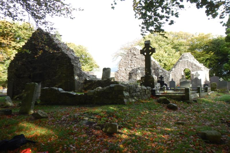
This story map provides an overview of the multi-period monastic site located in South Armagh, Northern Ireland. It provides an introduction to the different features of the site, including the Killeavy churches and surrounding graveyard, as well as an overview of its history. The results of a photographic survey of the grave markers and an account of a number of notable individuals buried at the site are also included. The story map was produced by Simon Kane as part of his MSci Archaeology degree.
Go to Killeavy Old Graveyard Story Map