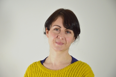
Dr Siobhán McDermott
GIS Surveyor
Telephone: 028 9097 3187
Email: s.mcdermott@qub.ac.uk
Siobhán is a highly experienced Digital Archaeologist with an excellent academic profile and proven track record of over eight years of invaluable knowledge in domestic and international geospatial heritage sector. Prior to developing her specialism she gained experience as a field archaeologist and archaeological surveyor.
As a digital archaeologist working in the Centre for Archaeological Fieldwork Siobhan has been instrumental to the expansion of non-invasive survey techniques within the discipline of Archaeology at QUB. Much of this has focussed on expanding the scale and range of methodological approaches used. Including the application of shallow geophysics for archaeological prospection, Structure-from-Motion close-range photogrammetry including drone captured data, Airborne and Terrestrial Laser Scanning data and topographical survey data gathered with GPS and/or Total Station. The evidence they have generated has been integrated into GIS systems.
Core to this has been the development and delivery of training programmes for a wide range of target audiences. Siobhan prides herself in making abstract and complex techniques understandable. Teaching through example and participation to impart an enduring learning experience. She is committed to delivering this training through Open Source software and low-cost hardware solutions to make it was widely accessible as possible.
Siobhán graduated from the National University of Ireland, Galway in 2005 with a BA Hons in Archaeology and Sociology & Political Science. Attaining her PhD in 2010 on the archaeological landscape of on the former McKenna Gaelic lordship of Truagh, Co. Monaghan. This research was funded by a University of Ireland Lady Gregory Fellowship.
RESEARCH PROJECTS
‘Surveying Empires – Archaeologies of Colonial Cartography’ – a project exploring the material cultures of surveying and map-making through the mapping practices of the 19th and 20th centuries embedded in British imperialism – in Ireland during the 1830s and 1840s, for example – evaluating and interpreting the sites, locales and landscape legacies of ‘colonial cartography’ in a post-colonial world.
‘Mapping Lineages: Quantifying the Evolution of Maps of the British Isles’ – a Leverhulme Trust funded project in collaboration with University of Liverpool and National University of Ireland Maynooth, in partnership with the British Library, to result in a new interactive mapping platform allowing users to navigate the changing nature of cartography of Britain and Ireland.
PUBLICATIONS
2016 'Our current state of knowing: The archaeological record of Co. Monaghan’ in P. Duffy and E. O'Ciardha (eds), Monaghan: History and Society. Dublin: Geography Publications.
2015 ‘The geophysical identification of a possible early medieval enclosure, Co. L’Derry’ Ulster Journal of Archaeology.
2010 ‘The archaeology of the twelve tates of McKenna, c. 1591’ Clogher Record 20(2).
PROFESSIONAL MEMBERSHIPS
Science Committee Member of the International Society for Archaeological Prospection (ISAP); Member of Aerial Archaeological Research Group (AARG): Member of Irish Organisation for Geographic Information (IRLOGI); Member of the Institute of Archaeologists of Ireland (IAI)
