An integrated system for all-island SARS-CoV-2 wastewater surveillance and reporting.
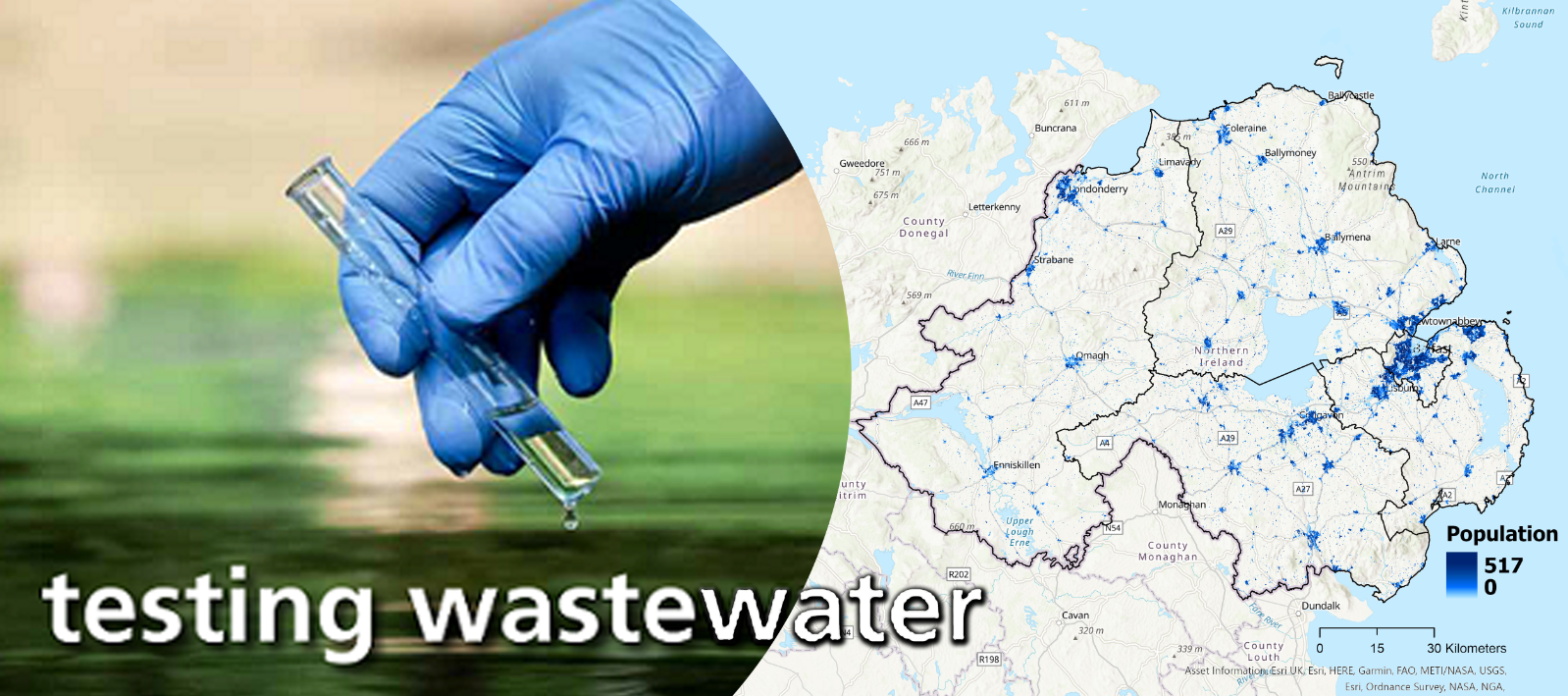
A joint research project has been established by the Institute for Global Food Security at Queen’s University Belfast and University College Dublin, funded by the Science Foundation Ireland (SFI) and Department of Agriculture, Environment and Rural Affairs (DAERA) aimed at producing an all-Ireland integrated testing and surveillance programme for SARS-CoV-2. An important aspect of this project has been the use of Geographical Information Systems (GIS) to model population to link this with information on the sewer network provided by Northern Ireland Waters.
This enables the development of the most efficient and informative sampling strategy for the programme and enables contextualisation of the wastewater test results in terms of the socio-economic and geographic patterning of the population. The aim is to enable early identification of outbreaks of Sars-CoV-2, and also indicate the groups and sub-sections of the population which may be more likely to be at risk from infection. The Centre for GIS and Geomatics at Queen’s University Belfast has developed an innovative methodology for identifying the most appropriate locations for monitoring the levels of SARS-CoV-2 in wastewater facilities across Northern Ireland.
John McGrath (PI), Deirdre Gilpin, Jennifer McKinley, Connor Bamford, Michael Tunney, Stuart Elborn (QUB), Derek Fairley (Belfast Trust)
GIS SARS-CoV-2 wastewater surveillance and reporting Team: Jennifer McKinley, Cormac McSparron, Behnam Firoozi Nejad and Conor Graham, Centre for GIS and Geomatics, SNBE.
Funding: COVID-19 Rapid Response Funding Call (Phase 2): Queen’s University Belfast and University College Dublin, funded by the Science Foundation Ireland (SFI) and Department of Agriculture, Environment and Rural Affairs (DAERA).